dbSEABED
/ 3. Mar 2025dbSEABED
The world's largest seabed database
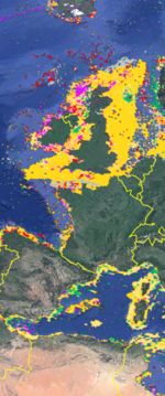
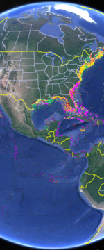
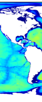
The dbSEABED is the innovative system that integrates thousands of individual data points to create unified GIS maps of the materials that make up the ocean floor. With over 6 million data points worldwide, the system is capable of providing detailed information on seabed texture, composition, acoustic properties, color, geology, and biology.
The goal of dbSEABED is to bring decades of seabed information from marine geology, biology, engineering, and surveys into one seabed mapping that can fulfill the community needs for seabed information on many spatial scales. This revolutionary technology is designed to meet the needs of experts in the field of marine research, engineering, and renewable energy.
With a cell resolution of 1 km, a property resolution of 10 km and a high degree of adaptability, the dbSEABED is equipped to meet the diverse needs of its customers - from calculating drift and mobilization of objects on the seabed to evaluating the acoustic properties of the seafloor.
The applications of dbSEABED are limitless, with numerous evaluation possibilities tailored to each customer. For instance, the system can be used to determine the carbonate content of the seabed, support pre-selection procedures for the construction of offshore wind farms and cable routes in the oceans, and evaluate the acoustic properties of the seabed.
In summary, dbSEABED offers a comprehensive, detailed, and accurate mapping of key seabed features, making it a go-to for experts in the field of marine research, engineering, and renewable energy.


