The software design illustrated in the upper-left image showcases a robust architecture centered around a Core and a Plugin System. The Core is divided into three key components: Input, Simulation, and Output, each fulfilling specific roles within the software.
The Input component acts as an entry point for external data sources and defines interfaces that are implemented in the Plugin System. These interfaces serve as essential connectors, enabling smooth interaction between the Core and various data formats like netCDF and CSV. This modular approach enhances flexibility and simplifies the integration of diverse data sources.
The Simulation component connects to the Plugin System through three interfaces: Wave Model, Mobilization Model, and Burial Model. Each of these interfaces is implemented by specialized computational models, allowing users to integrate different models as needed. This design supports easy addition of new simulation models, promoting scalability and adaptability.
The Output component can simultaneously connect to multiple plugins implementing the Output Interface, allowing for parallel use of various output formats, including time series, spatial data storage, and spatiotemporal results. This flexibility ensures the software’s ability to meet diverse output requirements effectively.
Key benefits of this design include the use of interfaces to support loose coupling between components, making the software easier to maintain and expand. The Plugin System allows for the dynamic addition of new functionality without modifying the Core, ensuring scalability and adaptability to changing needs. This modular approach also enhances reusability, reducing development time and effort, while supporting integration with various data sources and output formats. Additionally, Data Providers and Data Sinks within the Plugin System enable efficient data handling, improving the software’s overall performance and usability.
A user-friendly graphical interface empowers users to easily select their preferred data sources, simulation models, and output formats.


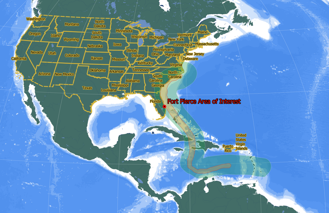
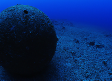
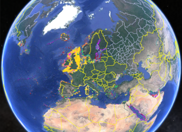
. Available tide measurements (top right). Available wave measurements (middle). Sebastian Inlet (bottom left). Fort Pierce Inlet (bottom middle). St. Lucie Inlet (Bottom right).")


")